
Description
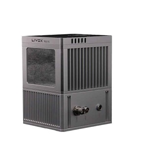
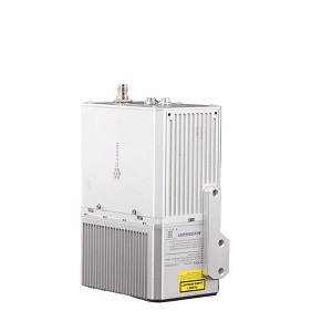
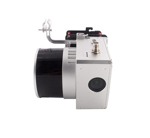
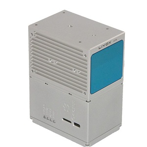
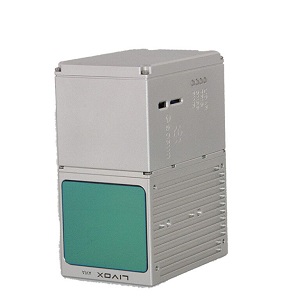
gAirHawk GS-300T is a kind of Mid-range, compact LiDAR point cloud data acquisition system,
integrated Livox Tele-15 laser scanner, GNSS and IMU positioning and attitude determination system,
and storage control unit, is able to real-time, dynamically, massively collect high-precision
point cloud data and rich image information. It is widely used in the acquisition of 3D spatial
information in surveying, electricity, forestry, agriculture, land planning.
Geosun GS-300T Package Includes:
POS software
Preprocessing point cloud software
laser sensor (tele-15) mounted on VOTL Fixed wing drone
Reviews
There are no reviews yet.