
Description
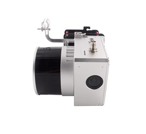
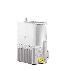
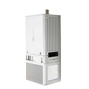
The Geosun GS-260X is a high-end LiDAR point cloud acquisition system.
It has an aluminum alloy body and can perfectly operate in a 2.5 square kilometers area in a single flight.
With it’s intergrated HESAI Pandar XT M2X laser scanner, GNSS and IMU positioning and attitude determination
system it’s an all-in-one device. Perfect for surveying, electricity, forestry, agriculture and land planning.
Measuring accuracy: Less than 0.1/0.05m(@150m)
Weight: 1.15 kg
Laser sensor: HESAI Pandar XTM2X
GS-260X Package Includes:
1x GS-260X UAV LiDAR Scanning System
1x Power connection cable
1x GNSS Arial antenna
1x GNSS cable connected LiDAR scanning system and antenna
1x MICRO SD Card 128 GB
1x High precision GNSS positioning & orientation post-processing software (Shuttle software)
1x LiDAR scanning system processing software (gAirhawk software)
1x Carrying case
1x USB drive
1x Build-in Camera with 26 MP resolution & 83 degree FOV
Reviews
There are no reviews yet.