
Description
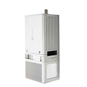
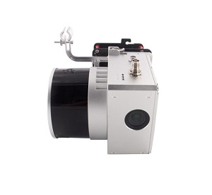
gAirHawk GS-MID40 is a kind of short range, compact LiDAR point cloud data acquisition system,
integrated DJI MID40 laser scanner, GNSS and IMU positioning and attitude determination system,
and storage control unit, is able to real-time, dynamically, massively collect high-precision
point cloud data and rich image information. It is widely used in the acquisition of 3D spatial
information in surveying, electricity, forestry, agriculture, land planning.
Geosun gAirHawk GS-MID40 Package Includes:
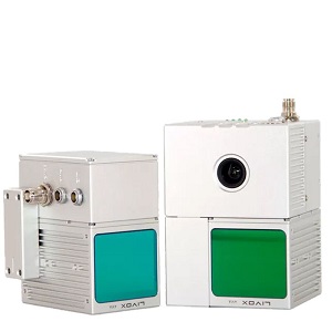
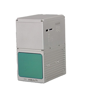
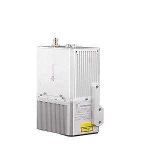
GS-MID40 UAV LiDAR scanning system (POS Unit & Livox Avia Laser)
Power Connection Cable
GNSS Aerial Antenna
GNSS Cable Connected LiDAR scanning system and Antenna
MICRO SD Card 128 GB
MICRO SD Card 8 GB
High precision GNSS positioning & orientation post-processing
Software (Shuttle software)
LiDAR scanning system processing software (gAirhawk software)
Carry case
USB Drive
Reviews
There are no reviews yet.