
Description
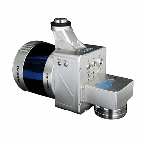
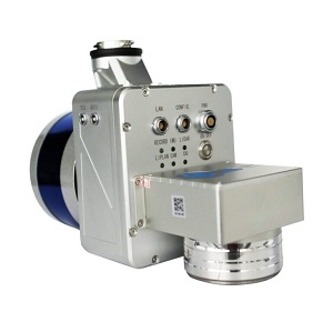
The LiAir 220N is the go-to solution for power line mapping.
It integrates a 40-channel Hesai Pandar40P laser sensor with a 220 meter range.
The Liair 220N is a sUAV-mounted system.
The LiAir 220N system integration is comprised of multiple technologies, including:
Laser Scanner (LIDAR sensor)
GNSS (Global Navigation Satellite System)
IMU (Inertial Measurement Unit)
System Control and Storage Unit
Power Supply and Management Unit
LiGeoreference software included
Range Accuracy: ± 2cm
Weight: 2.0 kg (Incl. camera)
Scan Range: 200m at 10% reflectance
Reviews
There are no reviews yet.