
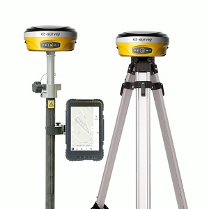
Description
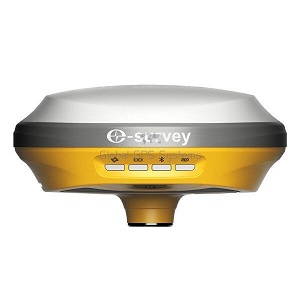
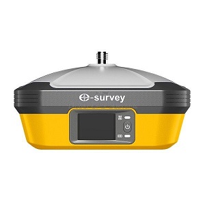
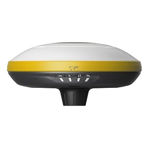
The E-Survey E600 rover and base set is a compact, powerful GNSS solution for land surveying and construction.
With full satellite support, RTK + aRTK, and IMU tilt compensation, this GPS set with IMU tilt sensor ensures reliable,
fast results. A rugged, easy-to-use land surveying set built for professionals.
✅ Channels 600
✅ IMU Tilt Sensor 60°
✅ Internet Modem 4G
✅ UHF Radio 410 – 470MHz
GPS L1CA, L1P, L1C, L2P, L2C, L5L1CA, L1P, L1C, L2P, L2C, L5
L1 CA, L2E, L2C, L5
GLONASS L1CA/b L2C, L2P, L3, L5G1, G2, G3, P1, P2
L1CA, L2CA, L3 CDMA
GALILEO E1BC, E5a, E5bE1, E5, AltBOC, E5a, E5b, E6
E1, E5A, E5B, E5AltBOC, E6
BEIDOU B1, B2, B3
Key Benefits:
Full satellite tracking for precision
Athena RTK + aRTK for non-stop performance
IMU tilt compensation for fast, flexible use
Rugged, compact design
Ideal for land surveying and construction
Reviews
There are no reviews yet.